SniperTAK
ATAK-CIV plugin
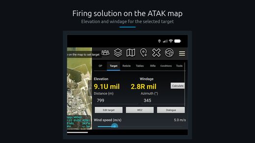
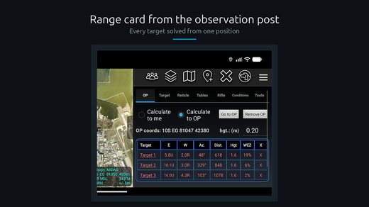
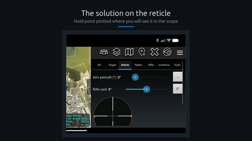
A ballistic calculator built into the ATAK map. It computes range and wind corrections, accounts for density altitude, and plots an observation post.
Why it exists
A shooter computes corrections in one app and keeps the target on the ATAK map in another. Copying coordinates between the two costs time and introduces mistakes.
SniperTAK computes the correction on the same screen the target sits on. It reads range and bearing from the map, not from the keyboard.
What it computes
Elevation and windage for the selected cartridge and barrel. The model accounts for density altitude — the combined effect of temperature, pressure and humidity on air resistance.
Density altitude is an empirical model, not a full atmospheric solver. Input is clamped to the range it was validated against: temperature from −20 to 50 °C.
The plugin also plots an observation post on the map and shares its position with the rest of the network.
Where the weather data comes from
Conditions can be typed in or read from a Kestrel weather meter. Kestrel's Bluetooth protocol is not publicly documented, so I reconstructed it from scratch by listening to the traffic.
Screenshots